There are thousands of sites that provide access to digitised old maps of your area online, many of them free.
Old maps are a rich and fascinating family history resource. Once you’ve found the region, town, village or street where an ancestor lived, perhaps using census records, you can follow the trail back through county, Ordnance Survey (OS), valuation or estate maps. They are also a great resource for researching the history of your house.
Old maps can reveal land use and ownership. The most detailed give you the footprint of buildings, small structures and even trees, wells and paths. Many county archives have digitised their tithe maps, while others have reproduced estate collections.
National collections of old maps include the British Library and the Bodleian Library’s Map Room but if you can't visit these places, there are plenty of old maps online.
There are many great websites for finding old maps online to help with family and local history research, here are some of our favourites:
Old maps: The best websites
1. National Library of Scotland
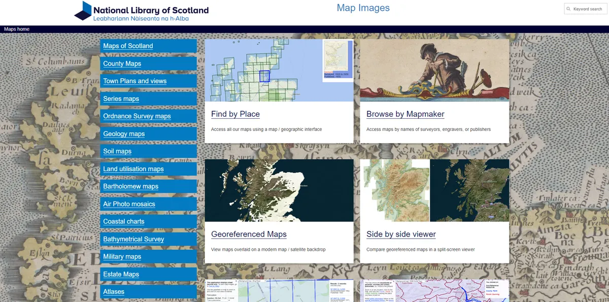
The GB1900 Historical Gazetteer is available via the National Library of Scotland’s old maps website. Volunteers created it by extracting all of the textual information from the 1900 six-inch OS maps. It holds about 2.6 million place names from not only towns and villages, but farms, fields, woods, wells, footpaths and windmills. You can zoom into any part of the UK to access a detailed OS map from around 1900.
Meanwhile the wider NLS site has all kinds of old maps covering Scotland, the UK and the world, including the complete collection of historic Ordnance Survey maps as well as smaller maps such as town plans, county maps, coastal charts, military maps (including trench maps from the First World War) and estate maps. A boundaries viewer helps you check parishes. You can browse the collection by map-maker or place, or view them overlaid on modern maps. New maps are regularly being added to the site.
2. Old Maps Online
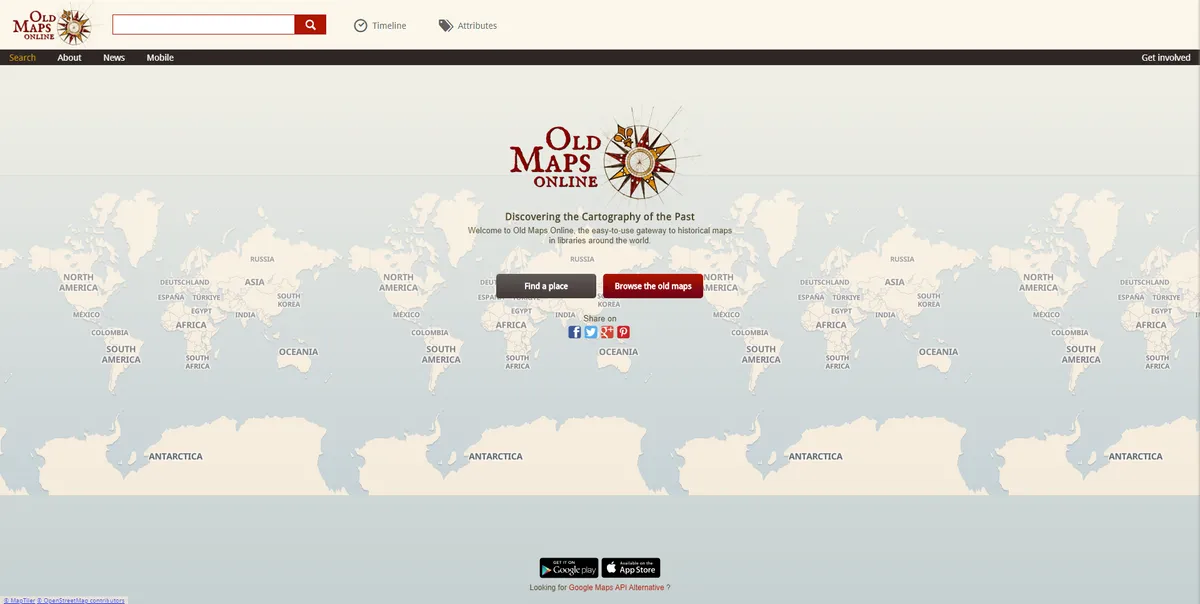
Old Maps Online grew out of a 2013 project by Swiss company Klokan Technologies and the University of Portsmouth’s Great Britain Historical Geographical Information System. The result is this easy-to-use search engine and interactive map that boasts historic digitised maps drawn from collections from all over the world. UK partners include the British Library, the National Library of Scotland (see above) and the University of Manchester’s map collections. The free Old Maps Online app lets you search for an area and view the different maps available.
3. David Rumsey/ Google Maps
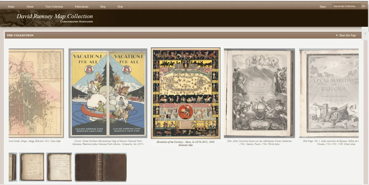
David Rumsey’s site has a vast number of fascinating old maps and charts covering most of the world. The parent website gives details about the collection’s coverage, recent additions and the various websites and apps through which you can explore the material. As well as standard maps, the site offers train and bus route maps and even some 'maps' or royal descent!
The choice of maps is so vast that the site can be overwhelming at first, but it's definitely worth spending some time getting to know what is there. The Georeferencer tool places the historic map of your choice over a modern map and you can select other maps of the area through time to compare them using a transparency slider. It’s a great way to explore how streets have developed and buildings come and gone.
4. Griffith's Valuation
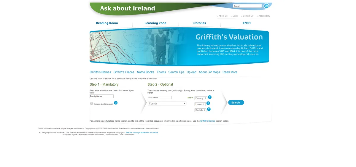
A comprehensive valuation of Irish property was overseen by Dublin geologist Richard Griffith between 1847 and 1864, listing landholders and householders. This free website is pretty long in the tooth, and there are other places online where you can find the data, but it still has lots going for it.
From the list of results after searching for a surname (you can include a forename too, and specify an area including a workhouse union), you can read a transcript of the information, view a scan of the original page, or launch a map view. This opens up an external Google Maps layer, where you can use a transparency slider to switch between modern and old maps of Ireland.
5. Layers of London
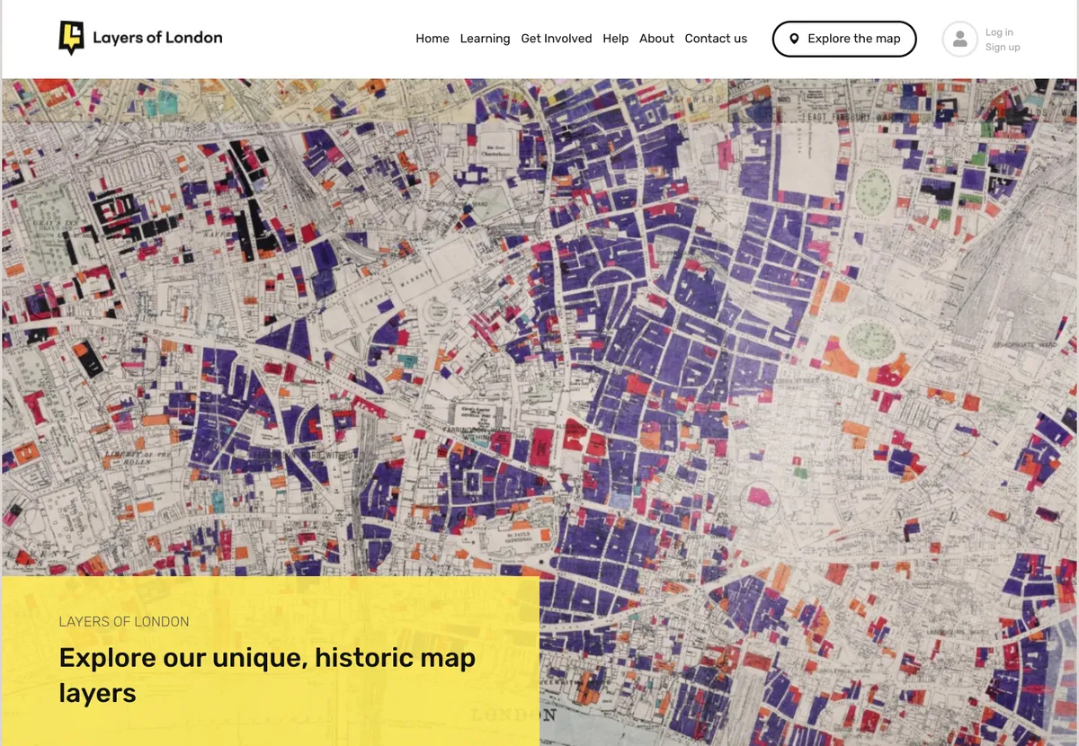
Developed by the Institute of Historical Research, the Layers of London website offers multiple views of the capital, from 18th century maps to the Lloyd George Valuation Survey maps of the early 20th century and damage from the Blitz.
You can also explore historical events, people and places as well as 'lost London'. All in all an invaluable site for anyone explore London's past.
6. Expert's choice: Places of Wales
Chosen by Anthony Adolph, genealogist and author of ten books including In Search of Our Ancient Ancestors:
"The tithe was a 10th of a landholder’s produce, which was payable to the parish, and was originally paid in kind; crops, wool, stock and so on. The Enclosure Acts of the 17th and 18th century converted these payments in some parishes from produce to money.
"In 1836 the Tithe Act extended this to all of England and Wales. Commissioners were dispatched to each parish to establish the value of land, and therefore how much cash was due to the Church of England.
"The practical upshot of all this for family historians is accurate, large-scale tithe maps and accompanying apportionment information, which lists owners, land use and even tenants.
"The records are found in county archives and The National Archives. They used to be difficult to search, but are increasingly appearing online.
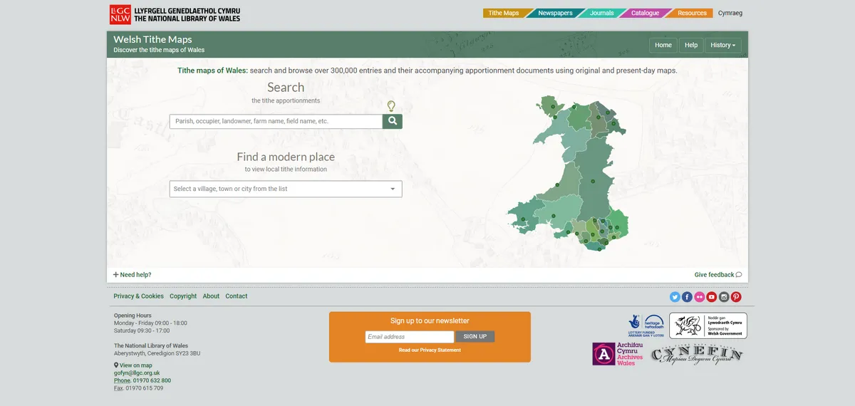
"The National Library of Wales ‘Places’ website is the pick of the bunch. Here you can explore approximately 1,200 digitised tithe maps, covering more than 95 per cent of the Principality.
"There are about 300,000 data entries drawn from the maps and accompanying documents. You can search the apportionments by parish, occupier, landowner, farm name or field name, or simply select a county, town or village and explore the material that way.
"All of this was powered by the crowdsourced Cynefin Project, which ran between 2013 and 2017 and involved 1,354 volunteers. It’s really rather good!"
Find out how to add a twist to your home decorating using old maps with this guide from Homes & Antiques
Old maps: More websites
British History Online
This site has old maps of London and the six-inches-to-the-mile OS series.
Charles Booth's London
This free website from the London School of Economics allows you to explore Charles Booth's poverty maps of Victorian London.
Cheshire Tithes
This free site for tithe maps and apportionments is a bit dated, but its design showing multiple windows on one screen still works a treat.
Enclosure in Berkshire
This site includes Berkshire enclosure maps as well as helpful advice about how to understand them and the history of enclosure.
FamilySearch
This family history site maps English parish boundaries as well as Poor Law Unions, enabling you to see jurisdictions and neighbouring parishes.
TheGenealogist
The subscription site has a large and growing collection of old maps from the Lloyd George Domesday Survey of 1910. It also boasts the only national collection of Tithe maps and a clever map viewer that lets you search by address and see maps of where your ancestors lived from a variety of periods. The site has also started adding images of places pinned to maps.
Know Your Place - Bristol
Explore a wide range of old maps of Bristol. A similar site is available for Worcester.
Manchester Maps
Find old maps of Manchester using this handy site from the University of Manchester which holds the largest map collection in the North West. As well as a large range of Manchester maps (including a Soviet map of Manchester and the surrounding area from 1975) you can find maps from overseas as well as a number of county and city maps.
Map History
This history of maps is maintained by Tony Campbell, former map librarian at the British Library. Although the site doesn't contain any maps, it has plenty of excellent advice for family historians.
Norfolk E-Maps
Here you can search approximately 700 tithe maps covering about 85 per cent of the county, alongside enclosure maps, Ordnance Survey charts and aerial photographs.
SABRE
SABRE (the Society for All British and Irish Road Enthusiasts) has a collection of 20th century maps.
A Vision of Britain Through Time
This site also allows you to explore the output from the GB1900 project, and get to grips with various old maps going back to 1805.
WhatWasHere
If you have family who lived in the East Riding of Yorkshire, then this is a website you don't want to miss. Not only can you choose maps from 1610 to 1855 to browse, but a range of historic pictures and old photographs have been pinned to locations.
West Yorkshire Tithe Maps
More free tithe maps thanks to the West Yorkshire Archive Service.